Where is Zimbabwe?
Where is Zimbabwe?
Zimbabwe, a captivating country nestled in southern Africa. It boasts a 125-mile (200-kilometre) border to the south with the Republic of South Africa, while being flanked on the southwest and west by Botswana, on the north by Zambia, and on the northeast and east by Mozambique. The capital is Harare, which was once known as Salisbury. In April 1980, Zimbabwe embraced majority rule and gained international recognition for its independence after enduring a lengthy colonial era and a challenging 15 years under a white-dominated minority regime, which had been established following the minority government’s Unilateral Declaration of Independence (UDI) in 1965.
Terrain
Zimbabwe is perched high, resting at an elevation of over 1,000 feet (300 metres) above sea level. The main physical characteristic is the expansive ridge stretching 400 miles from the southwest to the northeast, traversing the country from Plumtree near the Botswana border, passing through Gweru (formerly Gwelo) and Marondera (formerly Marandellas), all the way to the Inyanga Mountains, which mark the boundary between Zimbabwe and Mozambique. This ridge spans approximately 50 miles in width, with elevations varying from 4,000 to 5,000 feet, ultimately soaring to 8,504 feet (2,592 meters) at Mount Inyangani, the pinnacle of Zimbabwe, located in the eastern highlands. This ridge is called the Highveld and makes up roughly 25 percent of the country’s total area. On either side of this central spine, descending northward to the Zambezi River and southward to the Limpopo River, stretches the expansive plateau of the Middleveld, which, at an elevation of approximately 3,000 to 4,000 feet, constitutes around 40 percent of Zimbabwe’s landscape. Further south, where the Sabi, Lundi, and Nuanetsi rivers flow down from the plateau into the Limpopo, you will find the Lowveld, covering about 23 percent of the country’s total area. The lowest point in Zimbabwe is found at an altitude of 660 feet near Dumela, where the Limpopo gracefully flows into Mozambique. While Zimbabwe does not have areas that can truly be classified as desert, there are regions northwest of Plumtree and an extensive stretch across the Lowveld in the south that experience significant aridity.
Soil and drainage
The middle Zambezi trough, shaped by significant faulting from southwest to northeast, now finds itself partially submerged beneath the waters of the Lake Kariba reservoir. Other faulting episodes influenced the valleys of the Sabi (Save) and Limpopo rivers. With the exception of a small region of internal drainage in the arid southwest, these three rivers embark on an incredible journey, channeling the entire runoff of the country to the Indian Ocean through Mozambique. The central ridgeline of the Highveld stands as a prominent divide, marking the boundary between the Zambezi and the Limpopo-Sabi drainage systems.
The climate of Zimbabwe
Zimbabwe, positioned north of the Tropic of Capricorn, exists entirely within the tropics yet experiences subtropical conditions due to its elevated average altitude. As the sweltering days of late summer draw to a close, from August to October, the monsoon winds journeying from the Indian Ocean and Mozambique unleash their power, colliding with the majestic eastern highlands to create a spectacular display of intense orographic rainfall. The eastern regions, therefore, experience the most intense rainfall in the country, with a rainy season that stretches from October all the way into April, outlasting that of the rest of Zimbabwe. The elevated expanse of the wide plateau in western Zimbabwe ensures delightful weather throughout the cool, dry winter months from May to August.
Flora and fauna
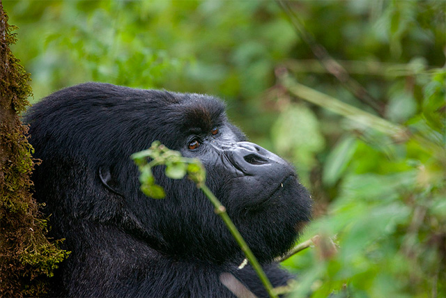
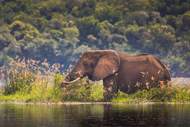
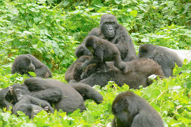
Zimbabwe is primarily a vast expanse of savanna, characterized by tropical grasslands and a thriving canopy of trees nurtured by the lush, wet summers. The only authentic woodlands, however, are the evergreen forests along the eastern border and the savanna woodland, which features teak, located northwest of Bulawayo. In the Middleveld and Highveld, towering species of Brachystegia, reaching heights of up to 90 feet, stand proudly with their pale reddish-brown wood, inviting exploration and wonder. Among the other notable species are the mohobohobo, a medium-sized tree boasting large spadelike leaves, and the thorn tree. In the valleys of the Zambezi and Limpopo rivers, the mopane, reminiscent of the mohobohobo, thrives alongside the stout-trunked baobab and the knobby thorn tree. Australasian eucalyptus trees have found their way into many landscapes, primarily on white-owned farms, where they serve as protective windbreaks and a source of fuel; Australian wattle has also been introduced in the eastern districts, valued for its tannin production. Uncommon yet captivating, pure grassland can be found especially along the eastern border near Chimanimani (Mandidzudzure, formerly Melsetter).
Individuals
Diverse cultural and language landscape
In Zimbabwe, a vibrant tapestry of languages unfolds, with over two-thirds of the population embracing Shona as their first language, while approximately one in six communicate in Ndebele. Shona and Ndebele belong to the vibrant family of Bantu languages. Since their remarkable journey to the south, Bantu-speaking groups have made their home in what is now Zimbabwe for over a thousand years. The Ndebele speakers are gathered in a vibrant circle around Bulawayo, surrounded by Shona-speaking communities in every direction—the Kalanga to the southwest, the Karanga to the east near Nyanda (formerly known as Fort Victoria), the Zezuru to the northeast, and the Rozwi and Tonga to the north. Generations of intermarriage have, in many ways, intertwined the linguistic boundaries between the Shona and Ndebele peoples.

