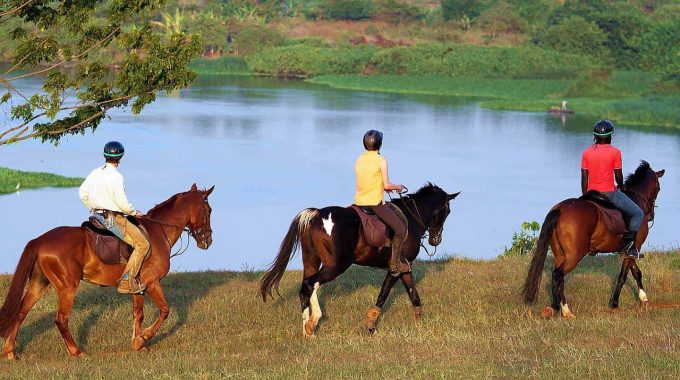
How much does it cost to ride a horse in Jinja? Horse riding in Jinja,…
How big is Jinja Uganda?
How big is Jinja, Uganda? Jinja, Uganda, is both a city and a district in the Eastern Region, known for its historical importance and location as the source of the Nile. Here’s a detailed overview of its size and demographics:

-
Geographic Size
- Urban Area: The city proper of Jinja spans approximately 28 square kilometers (11 square miles).
- Metropolitan Area: The wider metropolitan area, which includes peri-urban and rural zones surrounding the city, covers around 721 square kilometers (278 square miles).
-
Population
- Urban Population: Jinja City has an estimated population of 300,000 people.
- District Population: The entire Jinja District, which includes the city and surrounding areas, has a population of about 500,000 to 600,000 people, depending on the most recent census data.
-
Location and Boundaries
- Jinja is located 80 km (50 miles) east of Uganda’s capital, Kampala.
- It is situated along the northern shores of Lake Victoria, near the outlet of the Nile River.
- The district borders Iganga District to the north, Kamuli District to the northeast, and Mayuge District to the east and south.
-
Administrative Structure
- Jinja is divided into three divisions: Central, Northern, and Bugembe, each with urban centers and suburban communities.
- The Jinja District also includes rural sub-counties and town councils, extending its administrative reach beyond the urban core.
-
Economic and Social Significance
- Historically, Jinja was Uganda’s industrial hub during the colonial era, earning it the nickname “the Industrial City.”
- It remains a key location for tourism, hosting the Source of the Nile, Bujagali Falls, and activities like rafting and bungee jumping.
- Its strategic location at the confluence of major road and rail networks makes it an essential transit and commercial center.
-
Climate and Topography
- Jinja lies at an elevation of approximately 1,200 meters (3,937 feet) above sea level.
- The area enjoys a tropical rainforest climate, with significant rainfall throughout the year, averaging about 1,200 mm annually.
- The topography is marked by gentle hills and the presence of Lake Victoria and the Nile River.
-
Land Use
- Urban areas are predominantly residential, commercial, and industrial.
- The outskirts of Jinja include agricultural lands, forest reserves, and small-scale rural settlements.
Conclusion
Jinja’s relatively small urban footprint belies its importance as a historical, economic, and cultural center in Uganda. Its metropolitan area combines urban vibrancy with rural charm, making it a significant player in both tourism and regional development.


