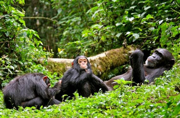
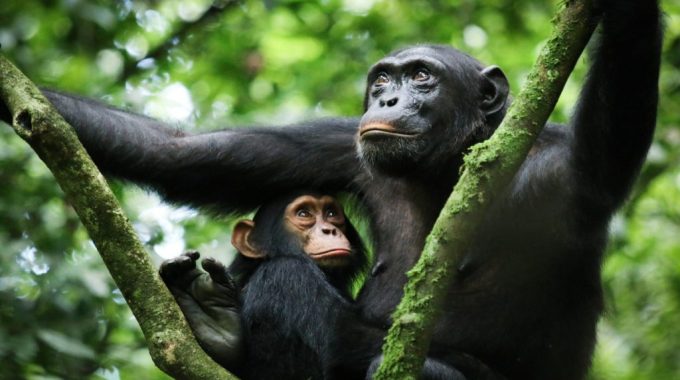
Which African country has the most chimpanzees? The African country with the most chimpanzees is…
What districts are covered by Kibale National Park?
What districts are covered by Kibale National Park? Kibale National Park, one of Uganda’s most famous biodiversity hotspots, spans Kabarole and Kamwenge districts in the western region of the country.
What districts are covered by Kibale National Park? Here’s a detailed breakdown of the park’s geographical and administrative coverage:

-
Kabarole District
-
Geographical Location:
The northern part of Kibale National Park is situated in Kabarole District. This district is part of the Tooro Kingdom, a traditional and cultural region in Uganda.
- Key Towns:
- Fort Portal: A regional hub known as the “Tourism City of Uganda.” It is the main gateway to the northern section of the park.
- Other smaller towns and trading centers include areas near Sebitoli Forest Camp, a secondary visitor site within the park.
-
Key Features in Kabarole
- Sebitoli Sector: Located 12 km from Fort Portal on the Fort Portal–Kampala Road. It’s a quieter entry point to the park for nature walks and primate viewing.
- Crater Lakes Region: Kabarole is home to scenic crater lakes such as Lake Nyinambuga and Lake Kifuruka, some of which lie close to the park boundary.
- Rwenzori Mountains: visible from parts of the park, offering stunning backdrops and trekking opportunities.
- Community Interactions:
- Surrounding communities in Kabarole benefit from tourism initiatives linked to the park, including cultural tours and local craft markets.
-
Kamwenge District
-
Geographical Location:
The central and southern sections of Kibale National Park fall within Kamwenge District. This district encompasses a larger portion of the park than Kabarole.
- Key Towns:
- Kamwenge Town: The main administrative and commercial hub of the district, located south of the park.
- Bigodi Village: Situated near the Kanyanchu Visitor Center, Bigodi is well-known for its eco-tourism initiatives and wetland sanctuary.
-
Key Features in Kamwenge
- Kanyanchu Visitor Center: The primary entry point for chimpanzee trekking, located in the heart of the park.
- Bigodi Wetland Sanctuary: A renowned community-based project offering guided wetland walks, birdwatching, and primate spotting.
- Tea Plantations: The park is surrounded by tea estates that act as buffer zones and offer picturesque landscapes.
- Community Interactions:
- Local communities engage in conservation through projects such as reforestation and alternative livelihoods supported by the park.
Additional Insights:
- Size and Location:
Kibale National Park covers 795 square kilometers and is part of the Albertine Rift Valley, lying about 320 kilometers from Kampala, Uganda’s capital. - Ecosystems:
The park consists of tropical rainforest, interspersed with patches of woodland and savanna. Its location across the two districts ensures diverse ecological zones. - Tourism Access:
Visitors typically access the park through Fort Portal (in Kabarole District) or Kamwenge Town (in Kamwenge District). Roads connecting the districts are vital for tourism and logistics.
Kibale National Park’s spread across these two districts highlights its ecological and cultural significance. Both districts play essential roles in supporting conservation, tourism, and community livelihoods around the park.


